





What if satellites could map heat rather than just capture images? A compact payload is set to collect temperature data from Earth’s surface.
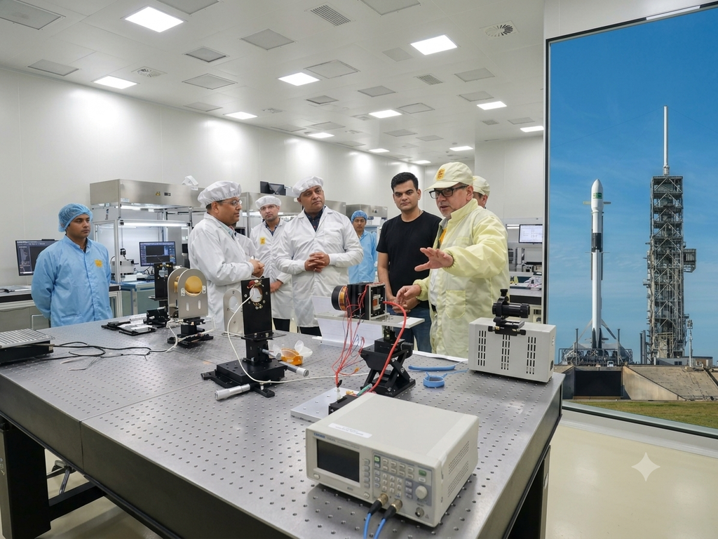
Ahmedabad-based SatLeo Labs is preparing to launch TAPAS-1, a 3kg thermal-imaging payload designed to capture temperature information from Earth’s surface.
The payload is intended to help identify temperature variations across large areas, providing data that can be used for applications such as urban heat mapping, agricultural monitoring, water-stress assessment, industrial monitoring, and hotspot detection.
TAPAS-1 uses thermal infrared sensing to measure radiation associated with surface temperature. Unlike conventional optical imaging, which relies on reflected visible light, this approach can reveal differences in heat that may not be apparent in ordinary satellite images.
This can be useful when temperature itself is an important indicator. For example, variations across an urban area can help identify heat islands, while changes in the thermal signatures of vegetation can provide indications of crop stress or water availability. Thermal anomalies can also help identify potential hotspots during forest fires or changes in industrial environments.
The payload is designed as an in-orbit demonstration of SatLeo’s thermal sensing and data-processing capabilities. It is scheduled to launch aboard SpaceX’s Falcon 9 as part of the Transporter-18 rideshare mission through Dhruva Space’s LEAP-2 platform.
Once deployed, TAPAS-1 is expected to operate at an altitude of around 500km for approximately three years. Data collected during the mission will allow the company to evaluate the performance of its thermal-imaging system in an orbital environment.
The technology builds on SatLeo’s earlier work with thermal data from ground, satellite, and drone-based systems. Its projects have included urban heat mapping and thermal monitoring of a landfill in Tumakuru, Karnataka.
By moving the sensing system into orbit, the company can extend thermal observations across larger geographic areas and collect data that can be compared over time. This could make temperature-based Earth observation useful alongside conventional optical imagery for environmental, agricultural, infrastructure, and disaster-monitoring applications.