
Lidar, which stands for light detection and ranging, is a remote sensing method that uses light in the form of a pulsed laser to measure variable distances to the Earth. These light pulses—combined with other data recorded by the airborne system—generate precise,
three-dimensional information about the shape of the Earth and its surface characteristics. The information can be highly useful, as described below.
An autonomous drone is known by different names, such as unmanned aerial vehicle (UAV), unmanned aircraft system (UAS), or remotely piloted aircraft system (RPAS). But, in terms of industrial application, they are used to monitor the entire region or terrain inside or outside industrial units, which sometimes becomes quite cumbersome for humans to perform due to hazardous settings or environmental instability.

To do such monitoring, innovative platforms are being developed across the globe. Such platforms provide complete end-to-end, autonomous solutions for collecting aerial data. An industrial UAV is like any other drone having IoT web capability, communicating directly with industrial control centre and all the (IoT) sensors for temperature, humidity, atmospheric pressure, gas, motion, electric and magnetic field, high-resolution full HD camera with object detection and tracking to carry out the required operations.
An autonomous drone (aka drone-in-a-box) gathers all sorts of data during its flight path, or customised data requested from the ground station, and sends it to the monitoring station. Without a ground based controller or a human pilot on site, once activated, the drone gets to work. It deploys from the box autonomously, collects the right data either on-demand or pre-scheduled missions, and returns home when it’s finished. The box acts as a landing pad, recharging station, shelter, and data hub.
Industrial drone-in-a-box solutions are highly adaptable to business needs. For example, you can launch one drone-in-a-box or combine multiple systems depending on the coverage requirements of each industrial site. During the drone mission, even if you are off-site, you can view site conditions in real time and also receive alerts and operational insights. If you are not available during the mission, the system automatically generates reports based on mission findings for review at a later time.
Top applications associated with autonomous industrial drones include the following:
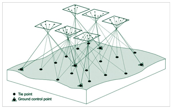
- Terrain mapping and detection of changes
- Asset management and scheduling
- Emergency response alerts and awareness of real-time situations
- Inspection of industrial sites and equipment’s surveillance
Challenges with photogrammetry
For remote monitoring and surveillance, initially drones used a technology called photogrammetry, which is used to create real-life models through image and photographic captures. Photogrammetry uses aerial and terrestrial cameras for preparing real-size measurements of objects (for example, area of surveillance) by getting the dimensions of the area of surveillance and use them for real-time inspection and monitoring activities.
This photogrammetry solution was not successful in poor sight areas during rain or in dim light as reconstruction of the 3D digital model in such conditions gives poor results. So, it was unable to handle monitoring in such climatic conditions.
This is better handled with lidar, as it uses laser technology. Hundreds of laser points per square metre get more accurate data points to build the real-time digital model of the area of surveillance in any climatic condition. Hence, airobotics using lidar technology is now a highly influential solution in such conditions.
Lidar and drones
Lidar, which stands for light detection and ranging, is a remote sensing method that uses light in the form of a pulsed laser to measure ranges (variable distances) to the Earth. These light pulses—combined with other data recorded by the airborne system—generate precise, three-dimensional information about the shape of the Earth and its surface characteristics.
A lidar instrument principally consists of a laser, a scanner, and a specialised GPS receiver. Aeroplanes and helicopters are the most commonly used platforms for acquiring lidar data over broad areas.
Lidars are of two types—topographic and bathymetric. Topographic lidar typically uses a near-infrared laser to map the land. Bathymetric lidar uses water-penetrating green light to also measure seafloor and riverbed elevations.
Lidar technology is currently used for creating super-detailed 3D maps and models of landscapes, buildings, and human-made objects, which opens the floodgates for a whole new range of creative possibilities when it comes to planning and innovation. Lidar can even go as far as detailing when vegetation appears on the ground and how dense it is, which is a technology previously non-existent and would take countless man-hours to incorporate into planning.
However, what really brings lidar into the limelight is the level of accuracy it can provide. In fact, in high-fidelity modes, a lidar drone can provide detailed information of 100-500 data points per square metre with an impressive accuracy of 2-3 centimetres. This was previously unfathomable.
New applications of drones using lidar integration
Lidar technology, when integrated with drones, opens a wide area of applications in diverse fields, some of which are listed below:
- As modern drones are sufficiently supporting industries for transportation of goods, with lidar the drones can become compact, lightweight, and robust and improve logistics to a great extent.
- Drones’ operations are quite sensitive to weight when heavy goods are transported. With the addition of heavy sensors, cameras, and some other equipment, the issue of space also arises. But with lidar sensors, drones become stronger towards mechanical vibrations, which in turn improves their capability in real-time data acquisition when operating in bad weather conditions.
- With lidar sensors, drones can autonomously detect the environments nearby, and unexpected obstacles can be avoided; even landing sites can be detected with more precision.
- Lidar improves the terrain mapping to a new level. With lidar sensors, mapping becomes faster and more accurate (to a few centimetres). This is helpful in the agricultural sector for land monitoring, animal tracking, field crop yield detection, and grazing area of animals.
- With lidar sensors, complex monitoring of sensitive environments like power lines, railroad tracks, and wind turbines becomes easy and their early detection becomes possible with 24×7 monitoring.
Dr Anand Nayyar is PhD in wireless sensor networks and swarms intelligence. He works at Duy Tan University, Vietnam and loves to explore open source technologies, IoT, cloud computing, deep learning, and cyber security
Dr Magesh Kasthuri is a senior distinguished member of the technical staff and principal consultant at Wipro Ltd. This article expresses his views and not that of Wipro