




What happens when a drone loses GPS in a hostile environment? Enord uses onboard AI, sensors, and vision to keep it flying autonomously.
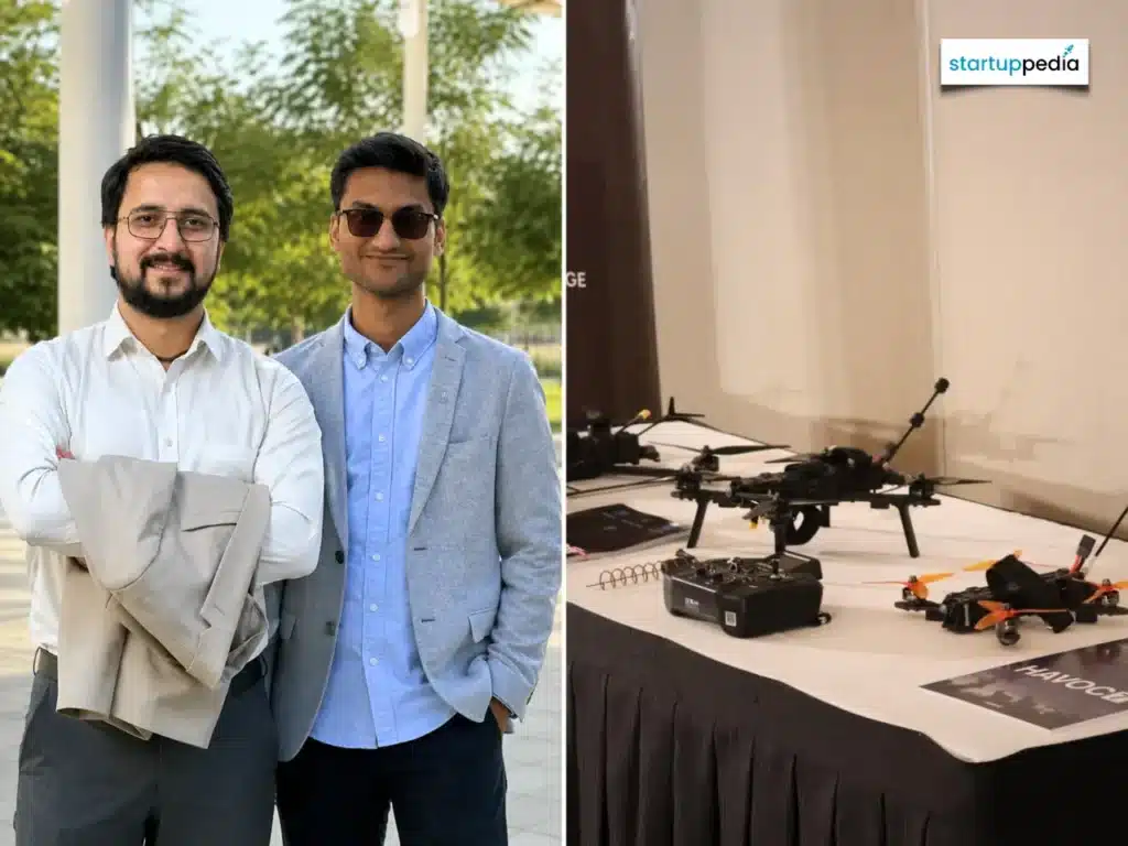
A Delhi-based startup, Enord has developed AI-powered drones designed to navigate, avoid obstacles, and make flight decisions without relying on GPS or internet connectivity. The technology targets defence and industrial applications where satellite signals may be unavailable, jammed, or spoofed.

Instead of depending on external navigation systems, the drones use onboard sensors, computer vision, and AI to estimate movement, maintain positioning, detect obstacles, and plan flight paths. The company has also developed AI-on-edge capabilities that allow processing to take place directly on the aircraft rather than sending raw data to remote servers.
This enables the drones to identify objects and targets, track movement, and respond to their surroundings with lower dependence on external connectivity. The approach is particularly relevant to GPS-denied environments such as tunnels, industrial facilities, damaged buildings, and areas affected by electronic warfare.
One of the company’s platforms, the Inspector X, uses an onboard AI computing module for autonomous target detection, tracking, and decision-making. It can carry payloads including EO/IR cameras, LiDAR, mapping cameras, and winch systems. The quadcopter has a maximum take-off weight of 8.5 kg, supports up to 2 kg of payload, and can operate for up to 90 minutes.
The company’s Altitude series extends the same approach to longer-range vertical take-off and landing (VTOL) platforms. The Altitude 100 is specified for a 100-km line-of-sight range, up to six hours of endurance, and a 2-kg modular payload.
The drones are designed for applications including surveillance, inspection, reconnaissance, and operations in environments where conventional GPS-dependent systems may become unreliable. Enord has supplied its platforms to the Indian Army, Indian Air Force, and Indian Navy, among other customers.
The company has also developed a mixed-reality simulator for drone pilot training and has worked with the School of Artillery in Deolali and the Indian Army’s Army Training Command.
The underlying technology reflects a broader shift towards autonomous drones that can continue operating when conventional navigation and communications infrastructure is compromised. By moving perception, navigation, and decision-making onto the aircraft, such systems can reduce dependence on external signals during critical missions.