

The New lightweight radar uses phased-array antennas to observe Earth’s surface shifts in real time without satellite or GPS dependency.
NASA and Aloft Sensing have jointly developed a compact radar instrument designed to detect fine-scale shifts in Earth’s surface. The new system, known as HALE InSAR, functions without GPS and is capable of tracking terrain and geologic changes at the millimetre level.
The radar operates on Interferometric Synthetic Aperture Radar (InSAR) technology, which compares successive radar scans to detect surface movement. Unlike conventional InSAR systems, HALE InSAR is under 15 pounds in weight and consumes less than 300 watts of power. It incorporates a flat phased-array antenna, allowing beam steering without mechanical components.
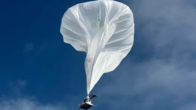
Engineered for high-altitude, long-endurance (HALE) aircraft, the instrument has already been tested on balloons at 65,000 feet and is now being prepared for deployment on fixed-wing HALE platforms. These aircraft can maintain station over specific locations, offering regular data collection at high frequency.
The radar does not rely on GPS for positioning. Instead, it uses onboard positioning algorithms to maintain accuracy during imaging, a key requirement for precise surface deformation tracking.
The HALE InSAR system is intended for remote sensing applications such as monitoring snowpacks, volcanoes, landslides and tectonic activity. It also presents potential for use in remote security operations due to its compact format and autonomous navigation capability.
Developed with funding from NASA’s Earth Science Technology Office, the system combines an electronically steered antenna with a software-defined transceiver. This has enabled the technology to progress from prototype to operational use.
Future plans include mounting the instrument on small satellites for low Earth orbit deployment, potentially broadening its application for environmental monitoring and disaster forecasting.
With both scientific and defence agencies showing interest, the HALE InSAR project marks a shift toward low-footprint, high-precision terrain monitoring systems.