




A new AI framework enables satellites to detect wildfires, reposition themselves automatically and coordinate observations, helping firefighters receive faster, more accurate information during emergencies.
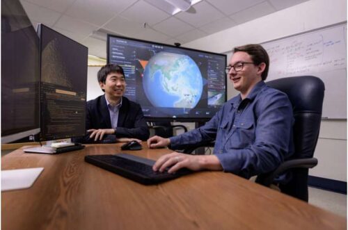
Engineers at West Virginia University (WVU) have developed an artificial intelligence framework that enables Earth-observing satellites to detect wildfires, coordinate with one another and automatically adjust their observation schedules, providing firefighters with faster and more reliable information during rapidly evolving fire events.
Unlike drones and ground-based sensors, satellites can monitor vast regions without requiring local infrastructure or routine maintenance. However, wildfires spread quickly, often moving at 15–20 mph (24–32 km/h) under favourable conditions and expanding across hundreds of thousands of acres. Their behaviour is also influenced by wind, terrain, vegetation and atmospheric conditions, making them difficult to predict and monitor continuously.
To address these challenges, the research team created the Wildfire-applicable Intelligent and Responsive Ensemble for Detection and Scheduling (WildFIRE-DS). The AI system first interprets satellite imagery using statistical methods to improve detection accuracy, then automatically retasks and repositions satellites to maintain continuous observation as fires evolve.
The framework was developed by researchers Brycen Pearl, Joshua Warner and Hang Woon Lee, with support from NASA’s West Virginia Established Program to Stimulate Competitive Research. Their findings were published in the Journal of Aerospace Information Systems.
Unlike existing wildfire satellite constellations, which primarily identify and validate fires, WildFIRE-DS also autonomously determines where satellites should move next. This allows satellites to revisit newly detected hotspots more frequently instead of remaining fixed to their original observation schedules.
The researchers note that future satellite constellations containing 50 to 100 satellites could detect fires as small as vehicles, verify wildfire outbreaks using AI and rapidly alert emergency responders without waiting for human reports. Combined with advances in drones and ground-based monitoring networks, the system could significantly shorten wildfire response times, giving firefighting crews a critical head start while improving situational awareness during large-scale fire emergencies.