


A new low-power chip that enables real-time three-dimensional mapping for small robots and drones
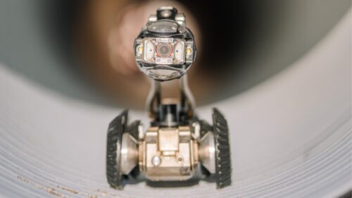
The researchers at MIT have developed an ultra-low-power system-on-a-chip called Gleanmer. It creates precise three-dimensional maps of the environment in which small drones and robots can operate using merely six milliwatts of power. This could help enable autonomous devices using batteries to navigate around obstacles in restricted spaces like warehouses, mineshafts, and ventilation shafts of factories. Another application of this technology might be in augmented reality headsets with minimal battery use.

Generating accurate three-dimensional maps normally involves processing substantial amounts of image information and storing complicated environmental models, an operation that consumes considerable memory and energy. As such, real-time mapping becomes difficult to achieve in the case of small battery-powered robots and drones.
However, the team from MIT applies deformable ellipsoid shapes referred to as Gaussians rather than using traditional voxel-based models. The combination of the new model with a mapping algorithm, GMMap, leads to the generation of three-dimensional maps through depth images in one single pass.
“At any point in time, we only need to store a few pixels in memory, which significantly reduces the memory footprint our algorithm requires,” said Peter Zhi Xuan Li, one of the study’s co-lead authors.
The system also avoids a common mapping problem in which the same object is observed from multiple angles, creating overlapping representations that increase map size. To solve this, they developed a technique that merges overlapping Gaussians directly, reducing memory usage and keeping maps compact.
“By having a dedicated memory that just stores the objects you’ve seen in the previous few frames, you can access the data much more efficiently,” said co-lead author Zih-Sing Fu.
In tests across multiple environments, Gleanmer generated detailed three-dimensional maps in real time while consuming only six milliwatts of power, this is 2.5 per cent of the energy required by other leading map construction chips. The system can also reconstruct obstacles and free space from live camera data and use compact Gaussian representation to plan collision-free routes, enabling robots to navigate while using only about 20 per cent of the energy typically required for path planning.