Scan the QR codes to download the apps based on the operating system of your device.
Pix4Dcapture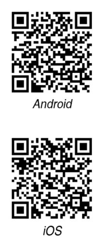
Updated: October 2018
Platform: iOS and Android
Download: Full version (free)
A free companion to Pix4D photogrammetry software, Pix4Dcapture is ideal for automatically capturing image data (RGB, heat, etc) for optimising 3D models and maps. Users can easily process post-flight images on cloud or desktop applications to generate geo-referenced maps and models for many industry needs. It supports a variety of drones, and allows automatic UAV mapping, UAV telemetry and real-time camera feed, flight planning for different needs, general mapping polygon tasks, general mapping grid missions, double grids mission tasks of 3D model reconstruction, circular mission for 3D model reconstruction of interest points, free-flight mission for vertical object mapping for manual flight control and so on
FreeFlight
Platform: iOS
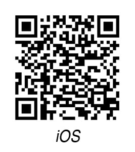
Download: Full version (paid)
For drone enthusiasts who already own Parrot AR.Drone or AR. Drone 2.0, FreeFlight can be a handy app to control the drone, track drone path, capture images and more. The app brings intuitive controls to move the drone based on tilting or moving of phone. Releasing the controls stabilises the drone in the air. Its features include autonomous flight and target tracking, tilt and absolute control, photo capture and video recording, sharing of photo and video files, logging and plotting of navigation data, alert messages and more. Rescue Mode automatically pulls the drone out of obstacles such as tree branches. Return Home feature returns it automatically to the take-off location.
RealFlight Mobile
Updated: 2017
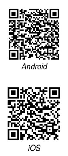
Platform: iOS and Android
Download: Full version (free)
With RealFlight Mobile app, users can experience the fun of flying from a comfortable platform. It is based on the popular desktop Real Flight RC simulator, and is suitable for any age and skill level. Some popular features include 3D flight sites, fully-rendered 3D models and custom physics and camera settings.
DJI Go
Updated: November 2018
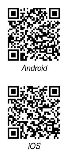
Platform: iOS and Android
Download: Full version (free)
Designed for universal DJI compatibility and upgrade availability, users can simply connect their DJI drone device and launch the app. The app comes with a live HD camera view with dynamic map view options. The camera can be controlled by the app, too. The app has a library section that lets them view, edit and share videos and photos, making it easy to share these on social media and messaging apps. It also comes with a live YouTube streaming option. Other notable features include real-time flight recording, video tutorials and documentation. The updated version comes with an improved GEO zone unlock screen.
AirMap
Updated: October 2018
Platform: iOS and Android
Download: Full version (free)
AirMap can be used to maintain situational awareness, request digital authorisation, obtain traffic alerts and more, while using drone or aeronautical data and drone services. It can connect to any supported DJI drone, fly directly from AirMap app and switch camera settings. It allows users to switch between portrait and landscape orientation for maximum efficiency, and ease of use in preflight and flight modes. They can choose from different map themes (standard, light, dark and satellite) to get the best geographic awareness and accuracy in planning their mission. AirMap dynamically analyses the flight plan and generates a compliance briefing to inform users of the rules they are following, or violating, whatever the case might be.


