


A new tech model charts and quantifies pedestrian movement across New York City’s sidewalks, offering planners data-rich insights for safer, smarter urban design.
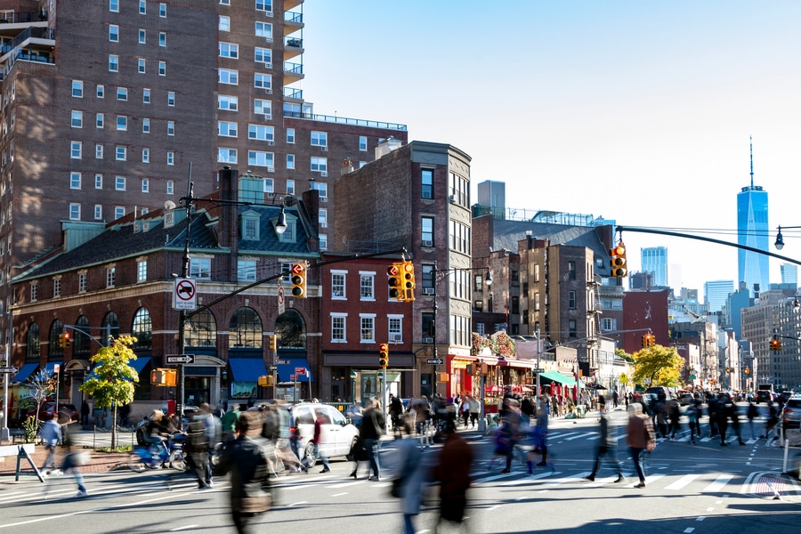
MIT researchers have unveiled the first complete, routable digital model of foot traffic for a major U.S. city, using comprehensive sidewalk, crosswalk, and pedestrian path data for New York City, a breakthrough with potential implications for urban infrastructure and safety planning.
Built by a team led by Andres Sevtsuk, associate professor of urban science and planning at MIT, the model integrates diverse citywide data and pedestrian counts to estimate movement patterns on every block. It goes beyond traditional vehicle traffic analysis by providing a detailed look at how and where people walk, not just where cars drive.
At its core, the system processes sidewalk geometry and network connections with calibrated count data to generate pedestrian volume estimates throughout the city. Data reveal dramatic variation: at peak evening hours, some Midtown Manhattan sidewalk segments average nearly 1,700 walkers per hour, while other areas in Brooklyn, the Bronx, and Queens show substantial but lower volumes challenging assumptions about where foot traffic is heaviest.
A standout feature is the ability to quantify pedestrian risks on a per-walker basis rather than simply tallying crashes. Planners can now identify intersections where the ratio of accidents to foot traffic is disproportionately high, spotlighting areas in need of safety upgrades.
Beyond mapping current patterns, the model offers planners a tool to simulate how developments or infrastructure changes might reshape pedestrian flows, enabling more informed decisions about where to invest in sidewalks, crossings, or public space enhancements.
Though developed for New York City, the research team is already applying the methodology in other U.S. regions including Los Angeles ahead of the 2028 Olympics and rural towns across Maine, demonstrating its adaptability to different urban contexts.Published in Nature Cities, this work signals a shift in how cities can leverage electronic data integration and smart modeling to balance mobility, safety, and sustainability especially as walking remains a dominant mode of travel in dense urban environments.